As in past disputes between state and federal riverbed ownership, the key issue is the river’s “navigability.” Alaska was given title to lands below “navigable waters” under the Statehood Act of 1958 and through a 1953 law called the Submerged Lands Act.
Sam Friedman
Alaska sues feds over Fortymile forks in latest ‘submerged lands’ lawsuit
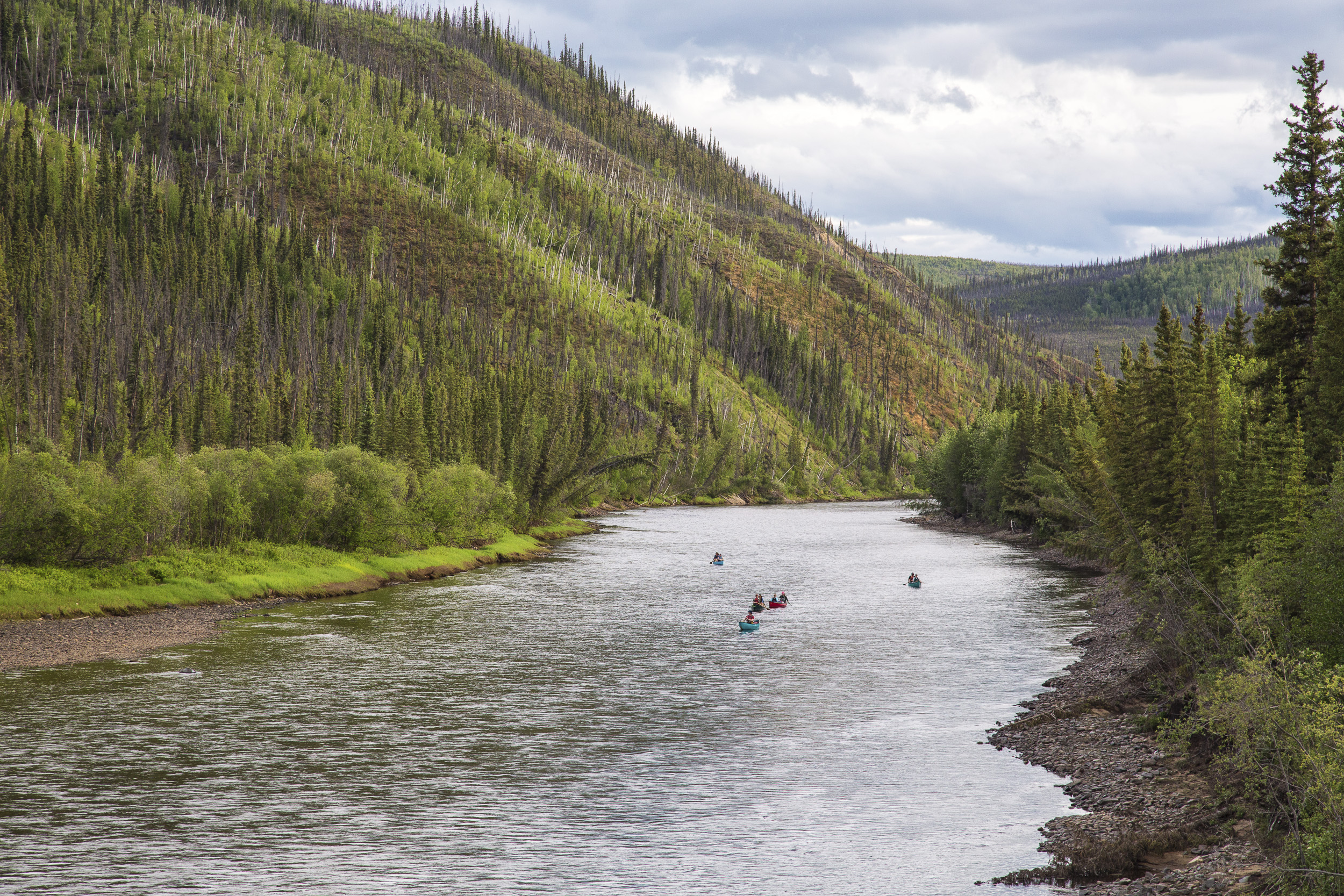
FAIRBANKS — The state of Alaska, in its latest lawsuit challenging ownership of riverbeds in the state, sued the federal government earlier this month over two forks of the Fortymile River in the eastern Interior.
The state previously won recognition that it owns the bank underneath the Fortymile River’s Mosquito Fork in 2015. The state now wants the federal government to recognize the land beneath the river’s Middle and North forks as state land.
The distinction between state and federal ownership is more than an academic one. The Fortymile country is Alaska’s oldest gold mining district and continues to be the site of small gold mining operations. The state lawsuit followed a letter from Fortymile miners that asked the state to pursue state interest in the Middle and North forks, said Jessie Alloway, the assistant attorney general who wrote the state’s opening brief in the case.
“Both rivers are within a (federally designated) Wild and Scenic Corridor, so there are differences between state and federal management,” Alloway said in an email to the Daily News-Miner.
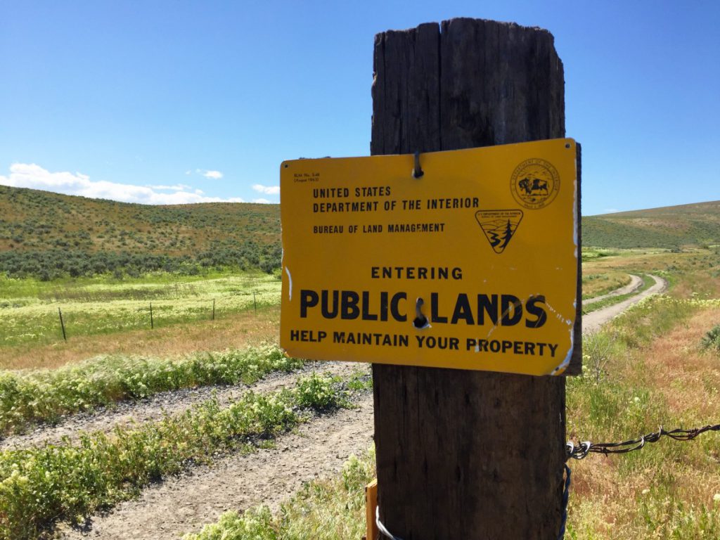
The Middle and North forks of the Fortymile River flow mostly through federal Bureau of Land Management lands. The federal government owns a large but patchworked section of the Fortymile River region.
As in past disputes between state and federal riverbed ownership, the key issue is the river’s “navigability.” Alaska was given title to lands below “navigable waters” under the Statehood Act of 1958 and through a 1953 law called the Submerged Lands Act. But the state and federal government have long disagreed about what exactly it means for a river to be “navigable.” The ownership of hundreds of riverbeds around Alaska hangs on the definition of the word.
The federal Bureau of Land Management is required to follow a narrower definition of navigability defined in case law, said Erika Reed, state director for land and cadastral survey at the BLM.
“The BLM doesn’t contest state ownership, but we are the responsible federal executive agency to determine navigability for title purposes,” she said in an email to the Daily News-Miner.
For the last six years, a group at Alaska’s Department of Natural Resources called the Public Access Assertion and Defense Unit has tried to get recognition for the state’s more-expansive definition of “navigable” and for state ownership of the lands below these rivers, said Alloway. The state chooses what rivers to pursue based on which rivers have the “most immediate value to the public,” she said.
Free Range Report
Thank you for reading our latest report, but before you go…
Our loyalty is to the truth and to YOU, our readers!
We respect your reading experience, and have refrained from putting up a paywall and obnoxious advertisements, which means that we get by on small donations from people like you. We’re not asking for much, but any amount that you can give goes a long way to securing a better future for the people who make America great.
[paypal_donation_button]
For as little as $1 you can support Free Range Report, and it takes only a moment.